

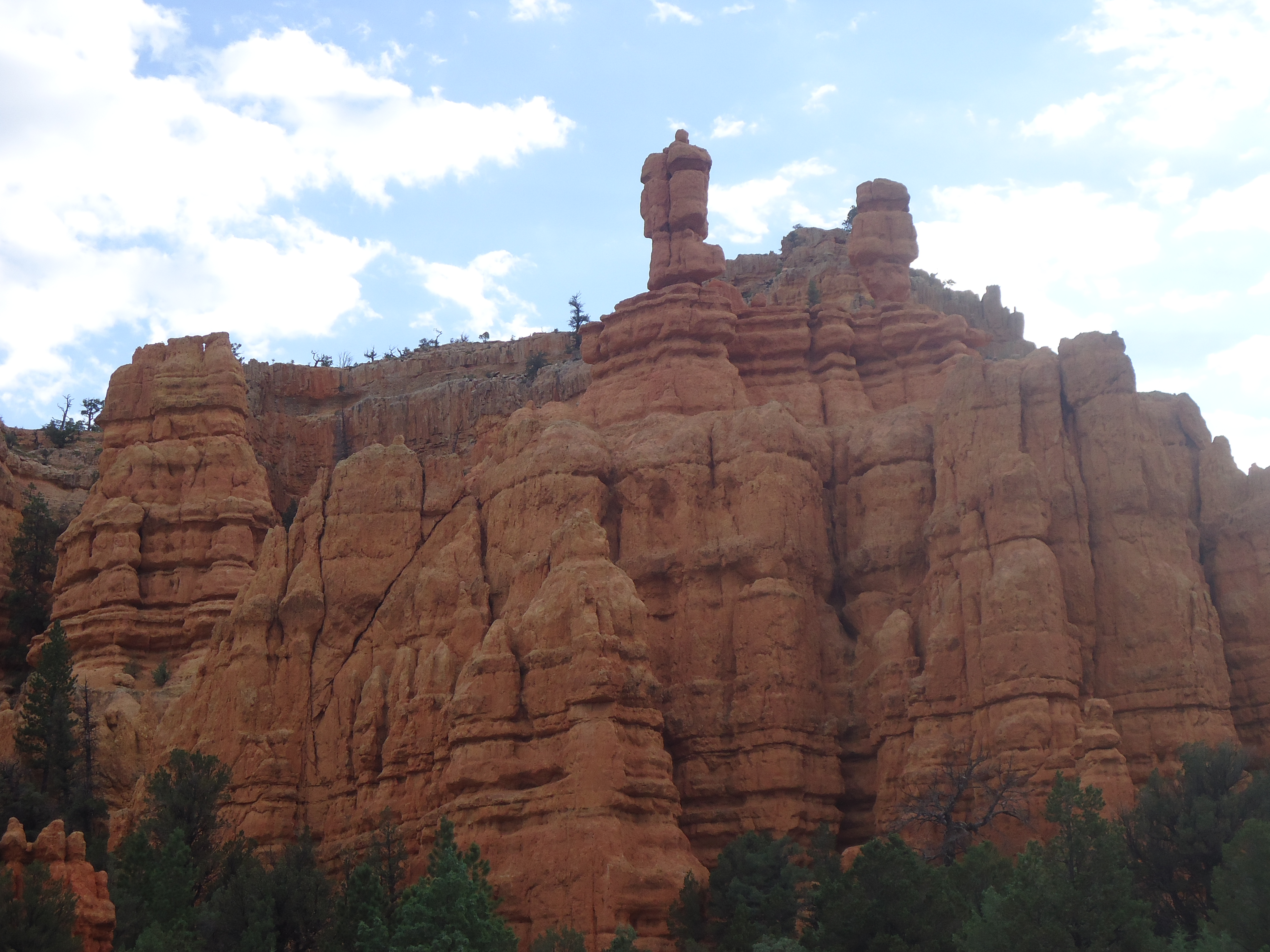
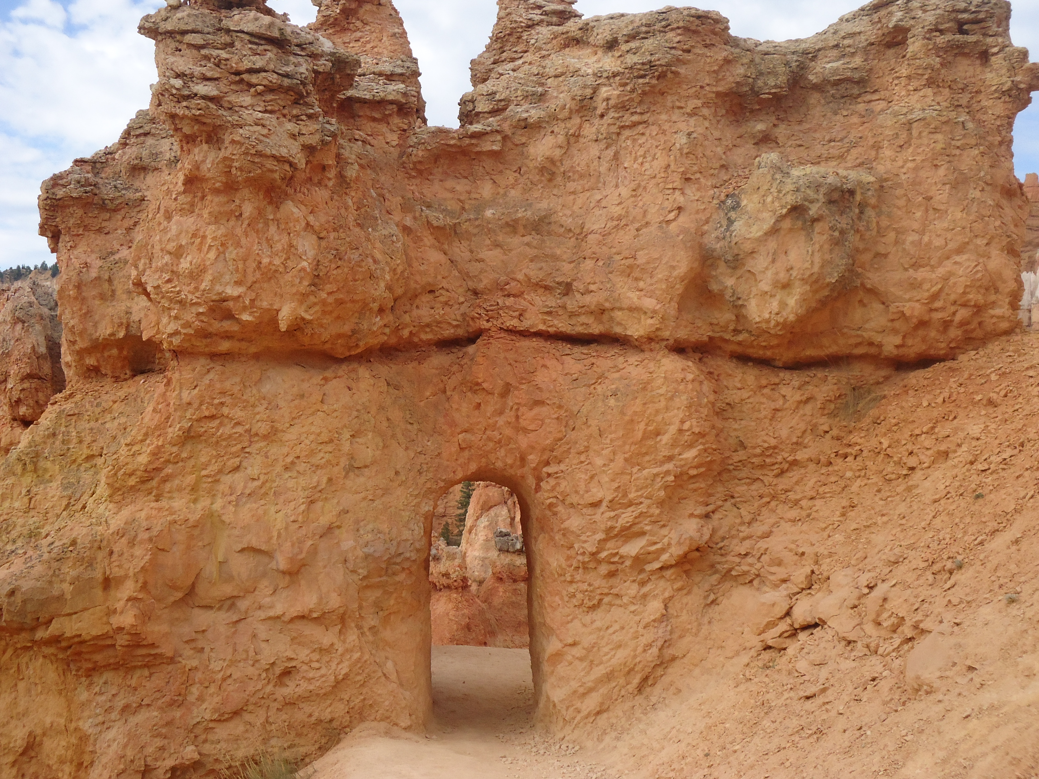
I contemplated skipping Bryce Canyon and going back to Zion to face Angel’s Landing again. But, I finally decided to just let it go. So, I packed up all my stuff, said goodbye to Kanab, and started the hour and a half trip to Bryce Canyon. Again Route 89 was my friend and I followed it to Route 12 East. The landscape was fairly non-descript, but all of a sudden I entered the Dixie National Forest and Red Canyon and it was amazing!!! Just a few short miles of some incredible red sandstone formations, including little tunnels built into the rock! What a pleasure! And then, in a blink of an eye, I drove out of it!
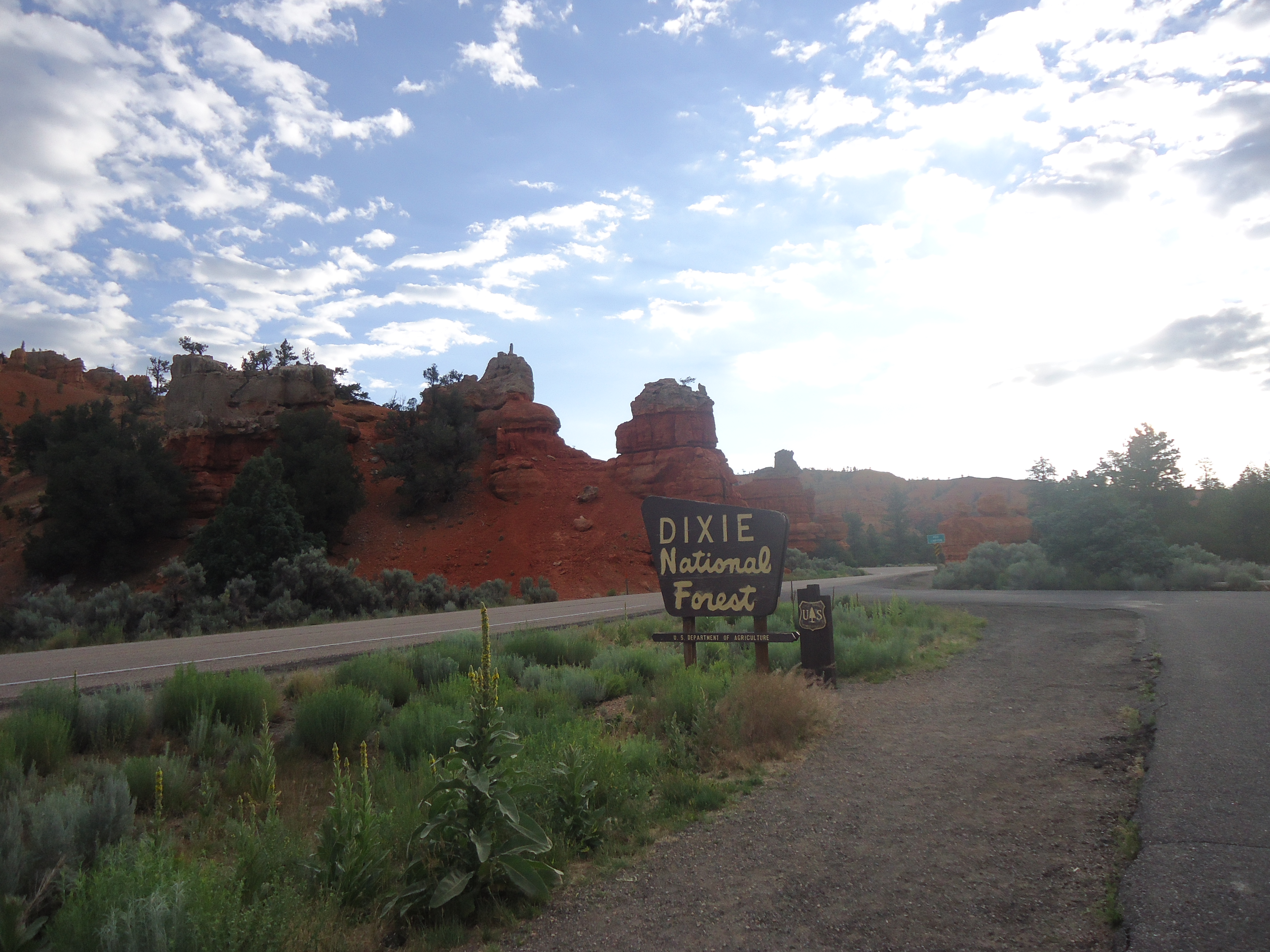
Entering Red Canyon


Then I turned south on Route 63 and followed that into Bryce Canyon. I opted to take my car into the park rather than park outside and take the shuttle since it was so early in the morning.
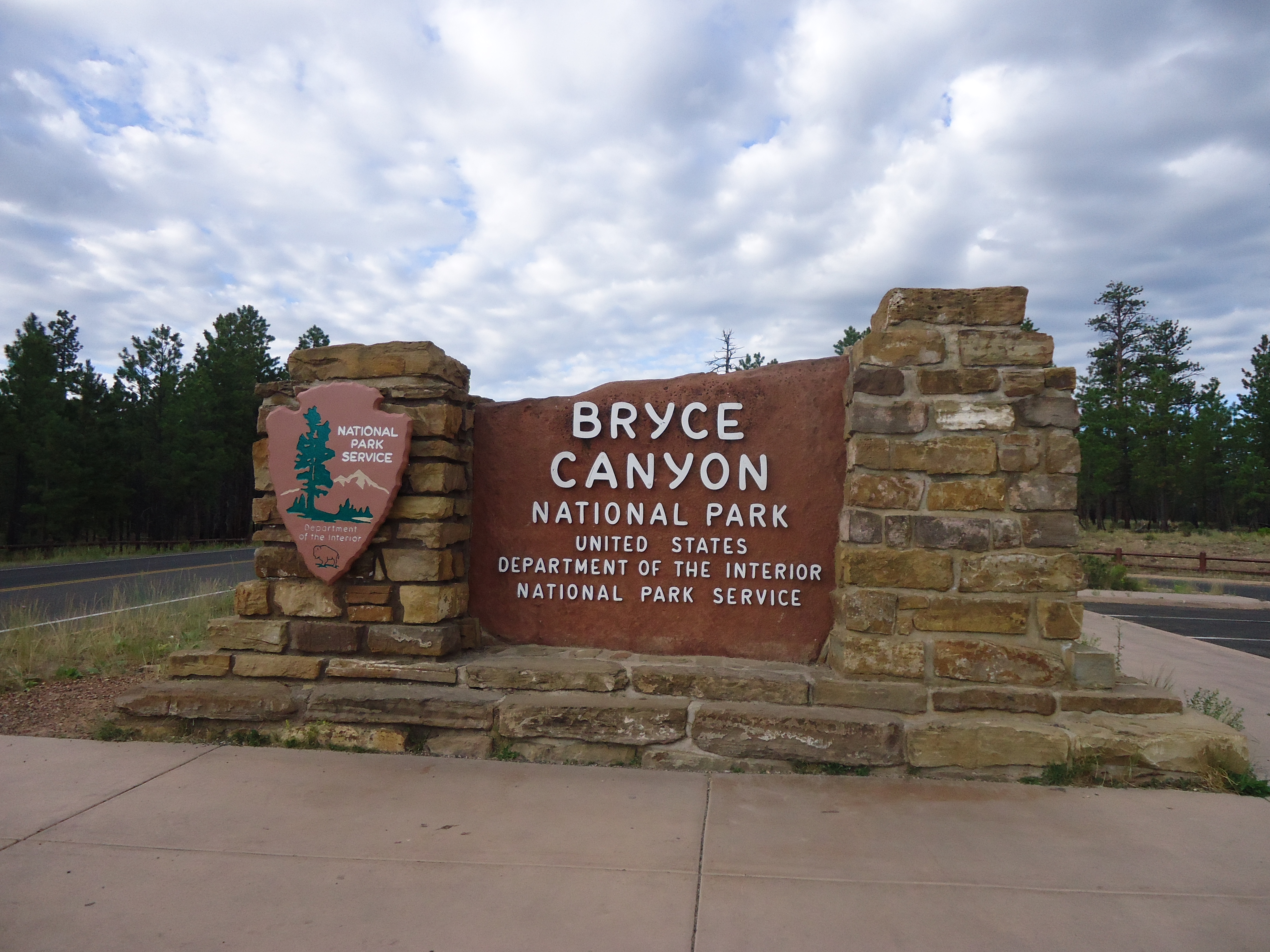
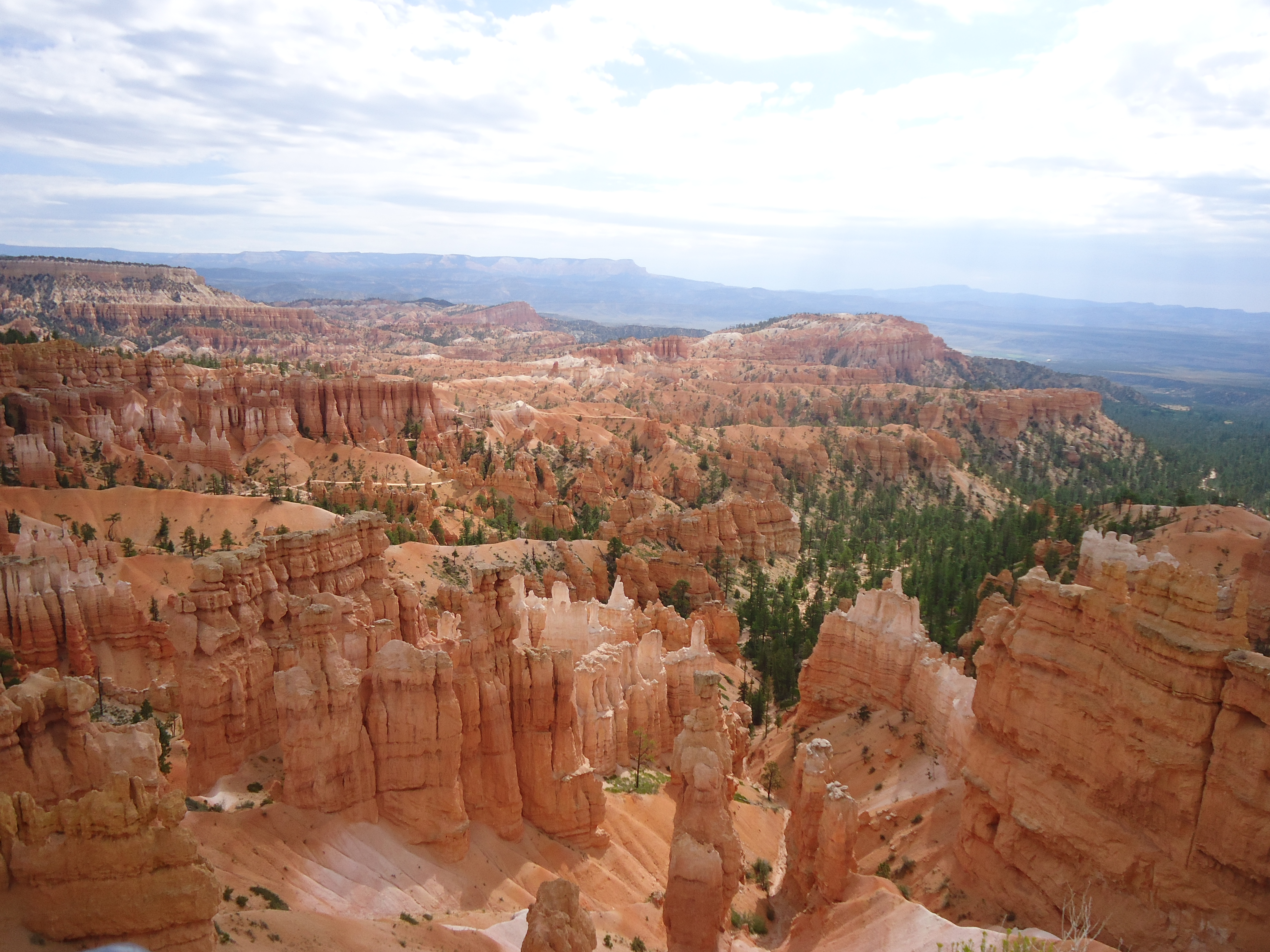
Bryce Canyon!

Sleepy selfie
I arrived right in the park a little after 8 and found the visitors station. The ranger suggested I take the most popular hike, the Queens Garden/Navajo Loop. I asked if there was something a bit longer and he suggested that I take the Peekaboo Loop and make the hike longer. So, all set with my map, I drove to Sunrise Point right next to Bryce Lodge to start my day.
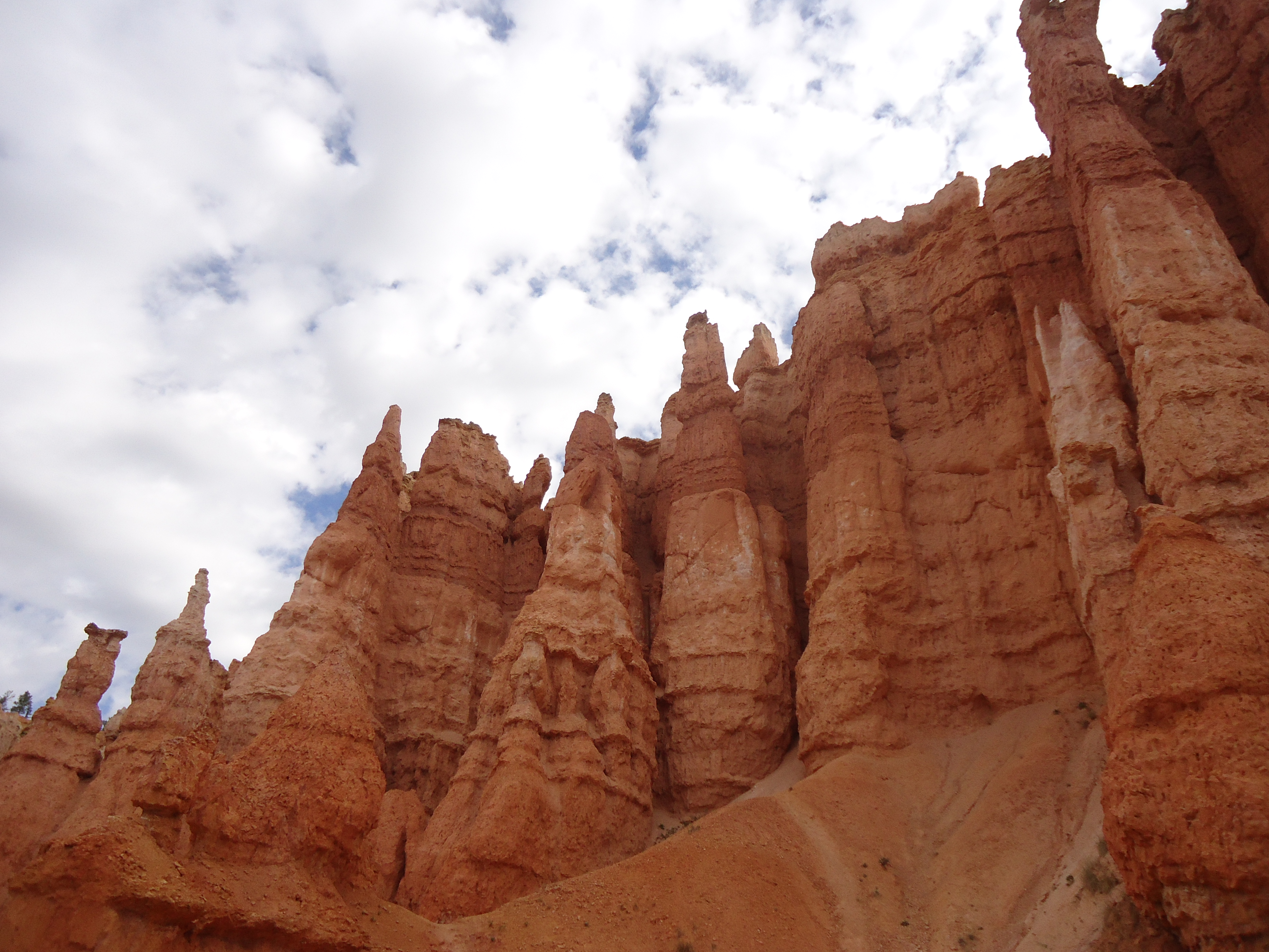
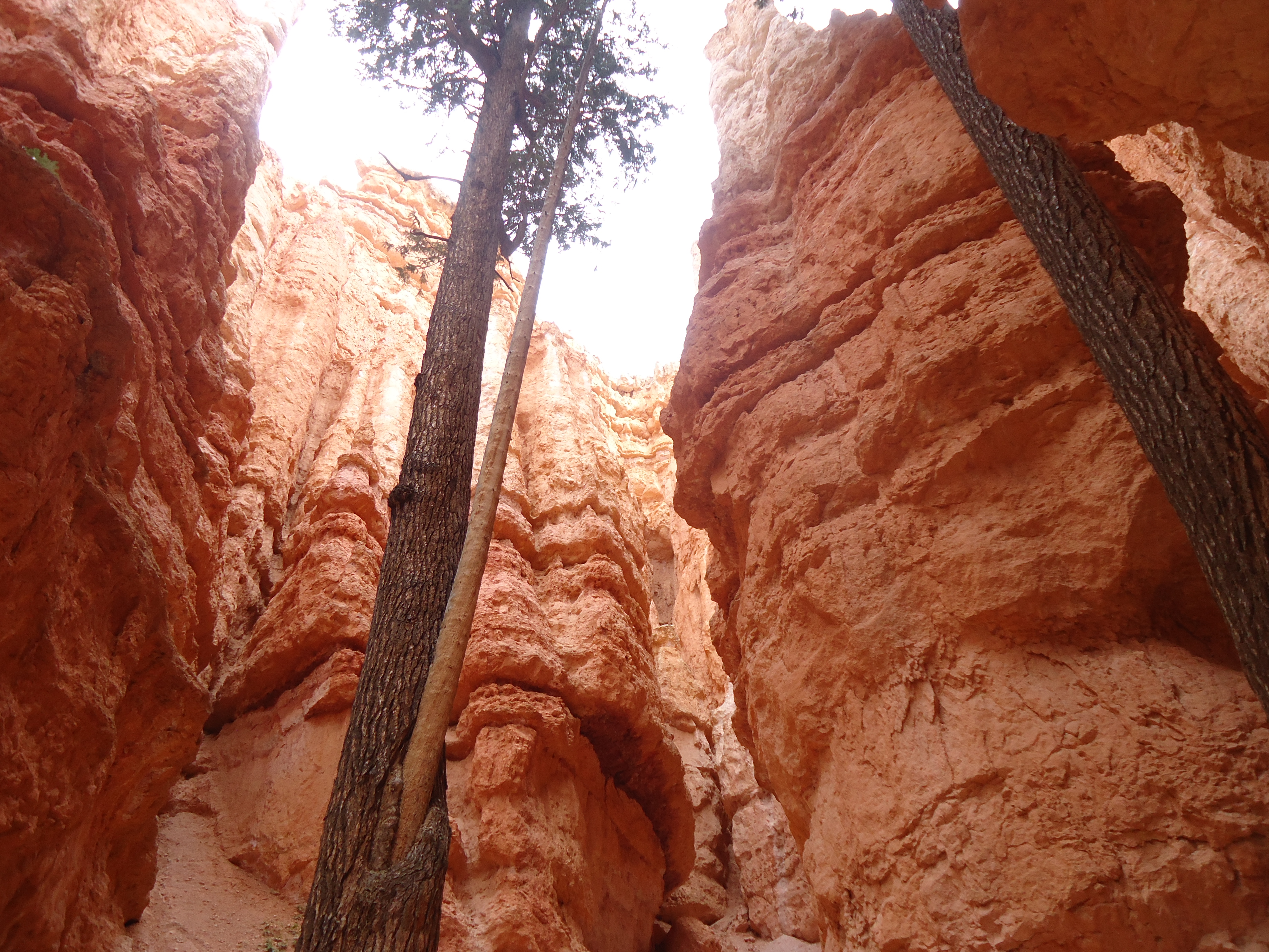
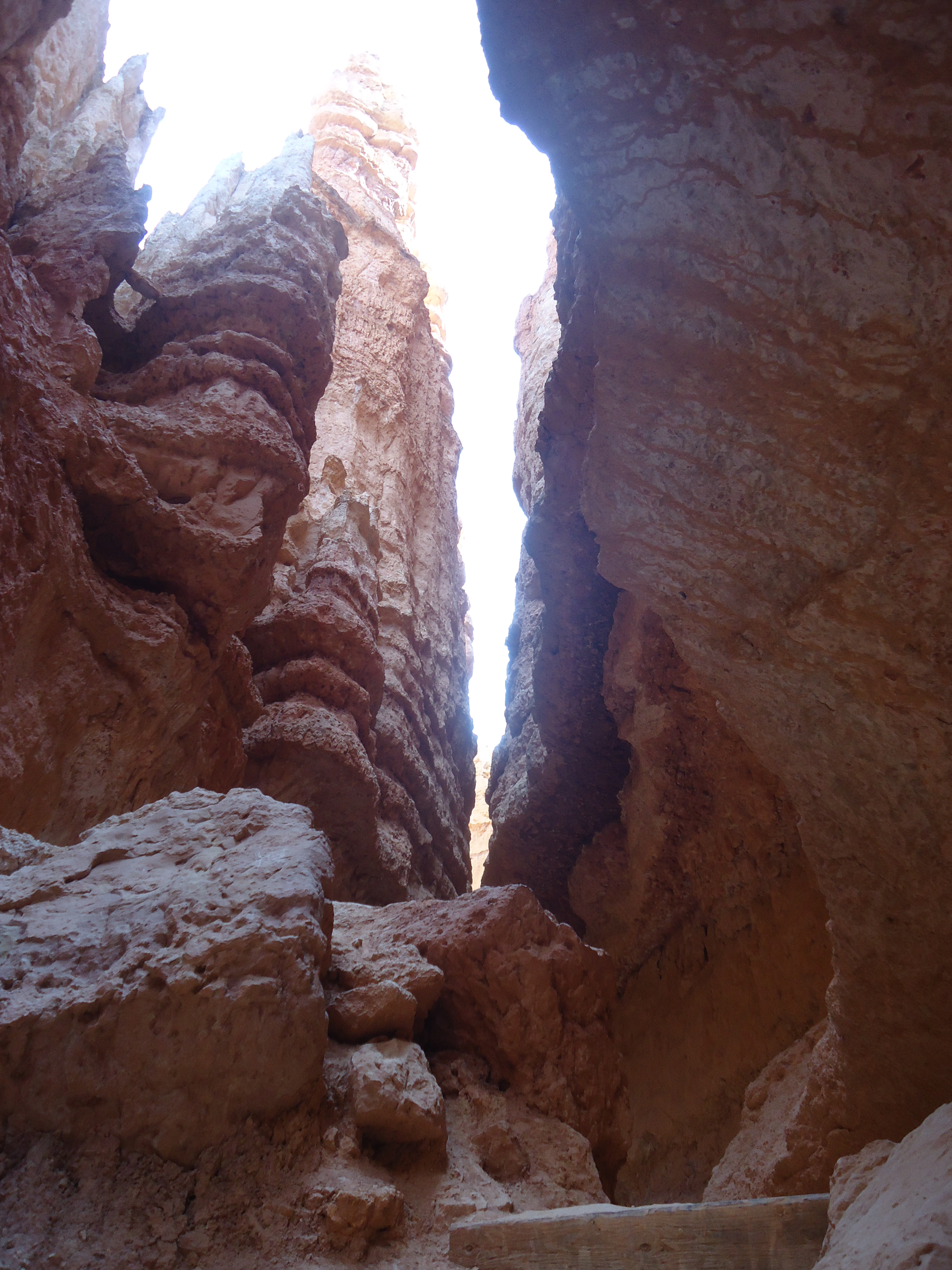
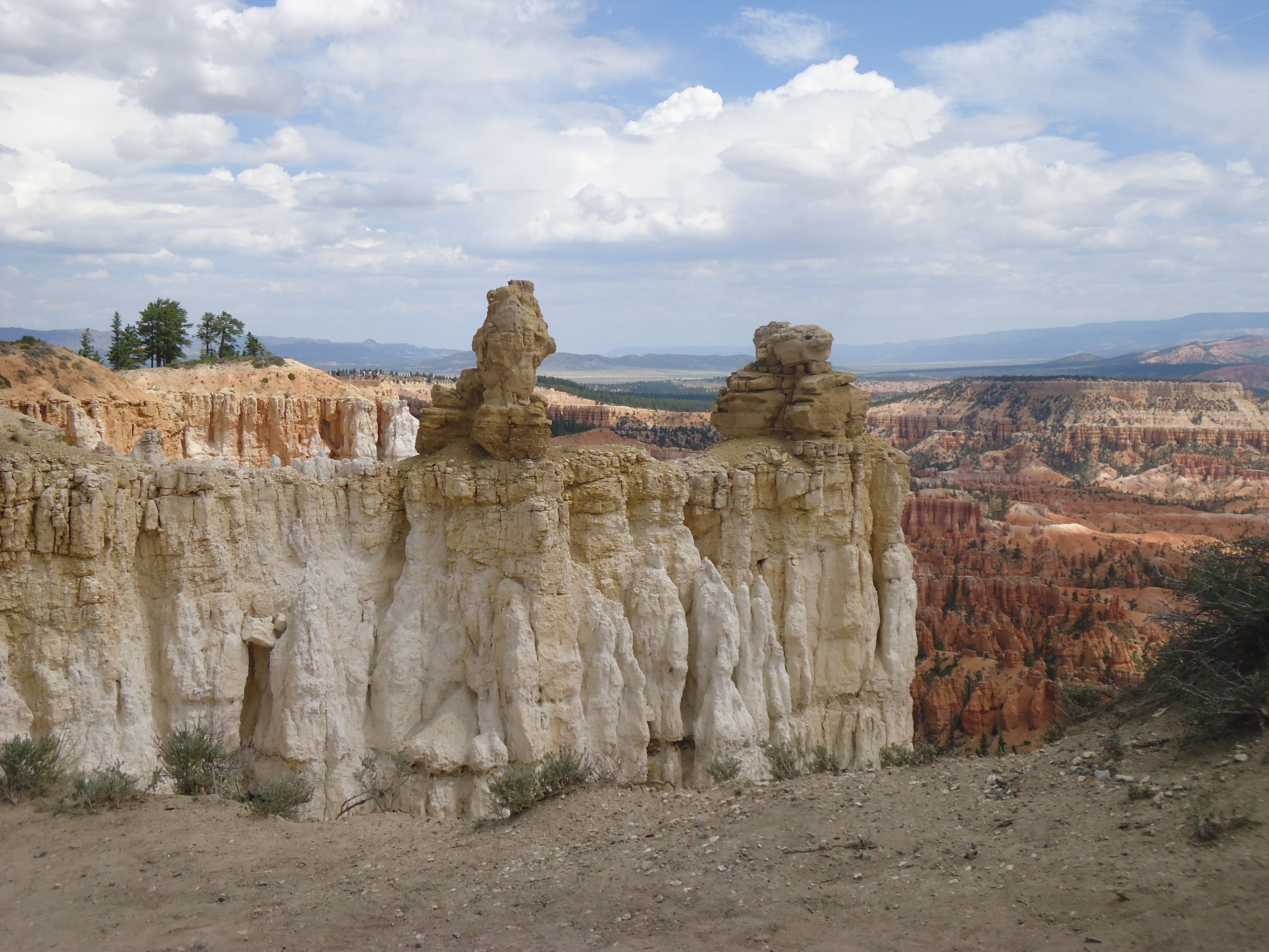
I had a little trouble initially finding the trail head, so I asked a couple who were walking along. She pointed me behind the lodge and said once I saw the rim, everything would make sense. So I walked down a path and then it opened up! OMIGOSH, my first view of Bryce Canyon was spectacular! A canyon of the most spectacular looking rock! HOODOOS! I will describe them as like the sandcastles kids make by taking wet wet sand and dripping it through their hands. It is hard to describe so I’ll just post several pictures so you can see for yourself.
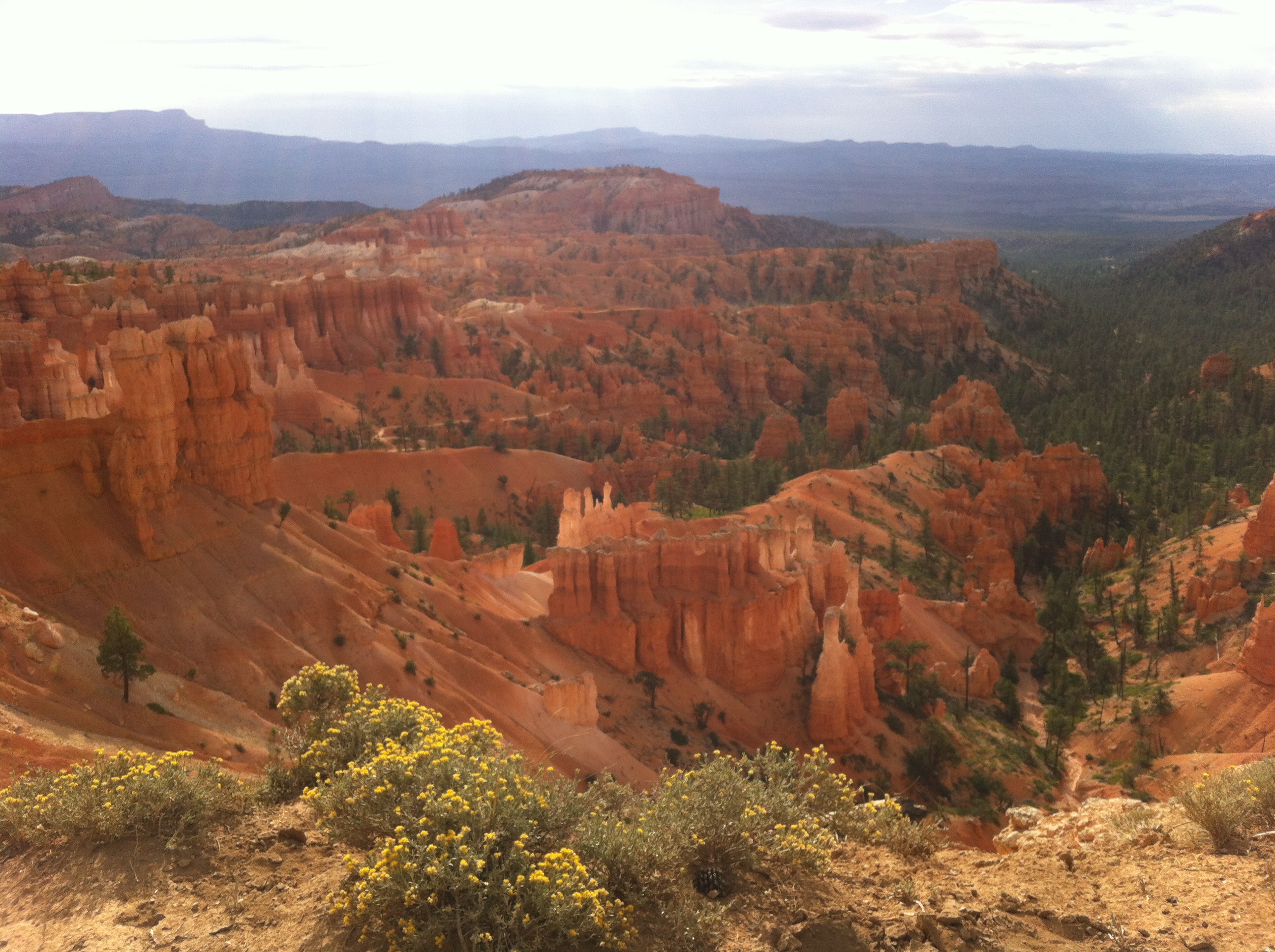

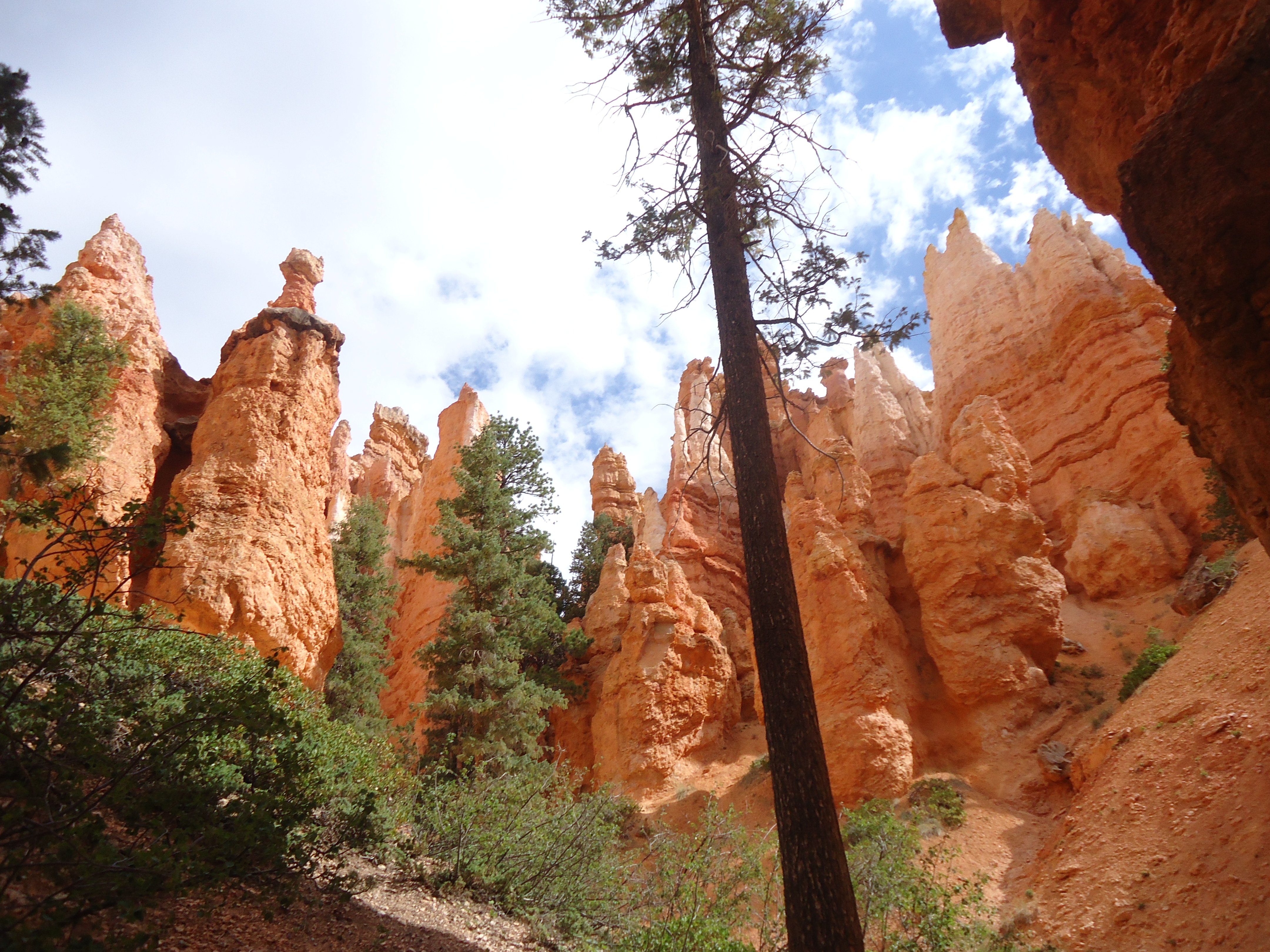
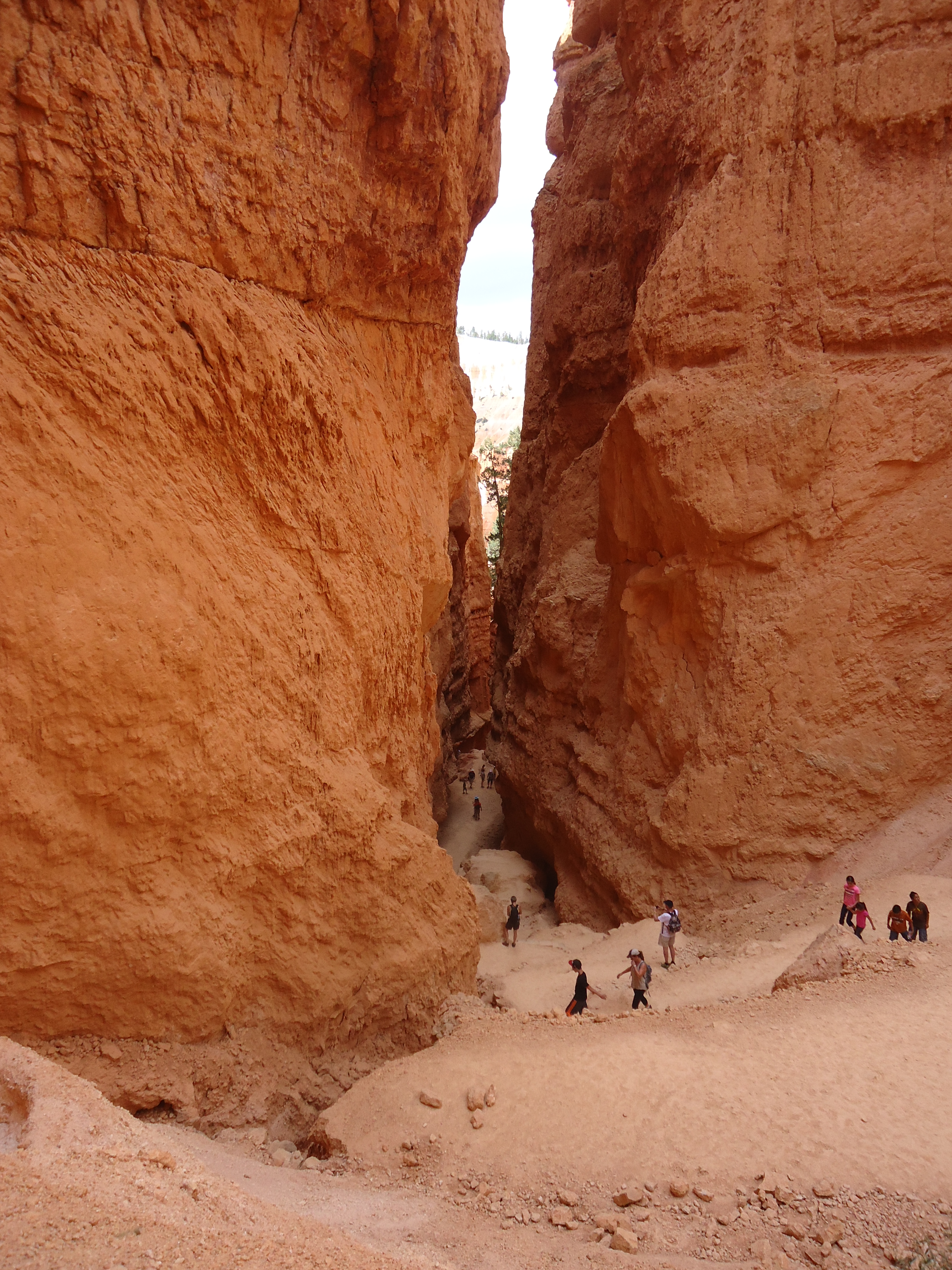
I started down the trail, and if I thought there were alot of people at Zion, there were twice as many at Bryce this day! Throngs of people walking down the trail down into the canyon. Interesting that on one side was the amphitheater and hoodos and on the other side a very forested area.

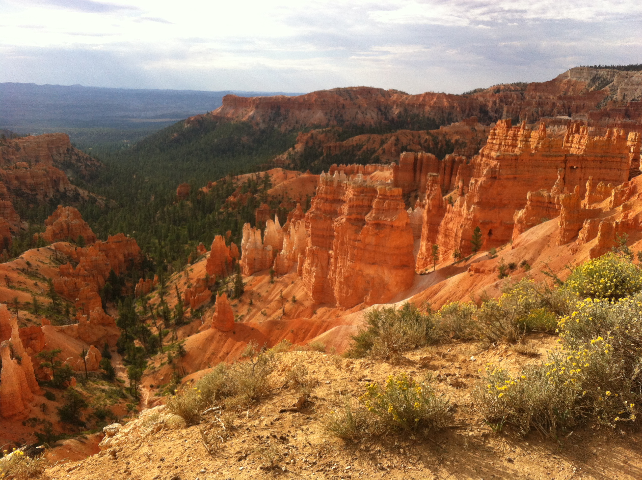
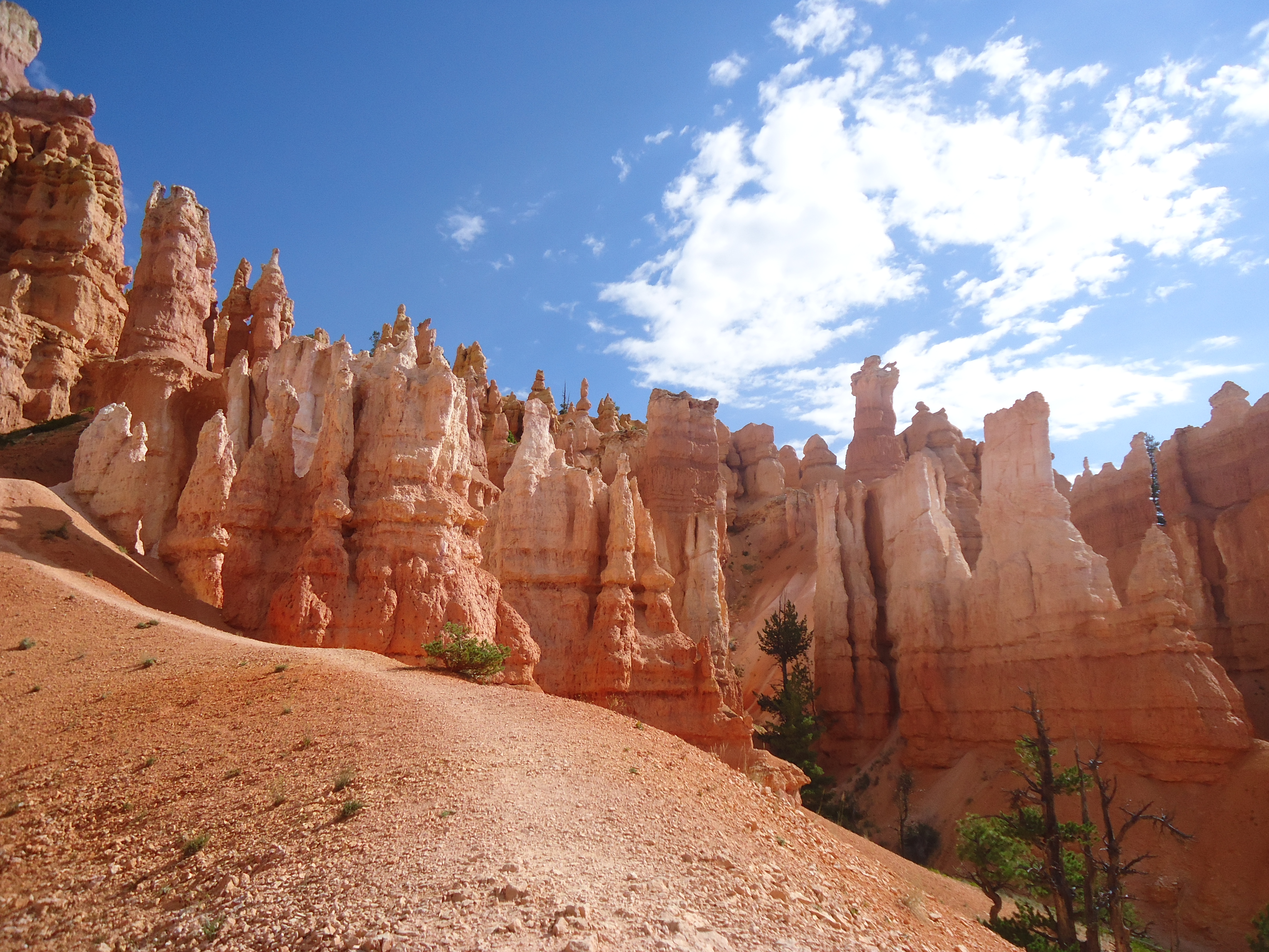
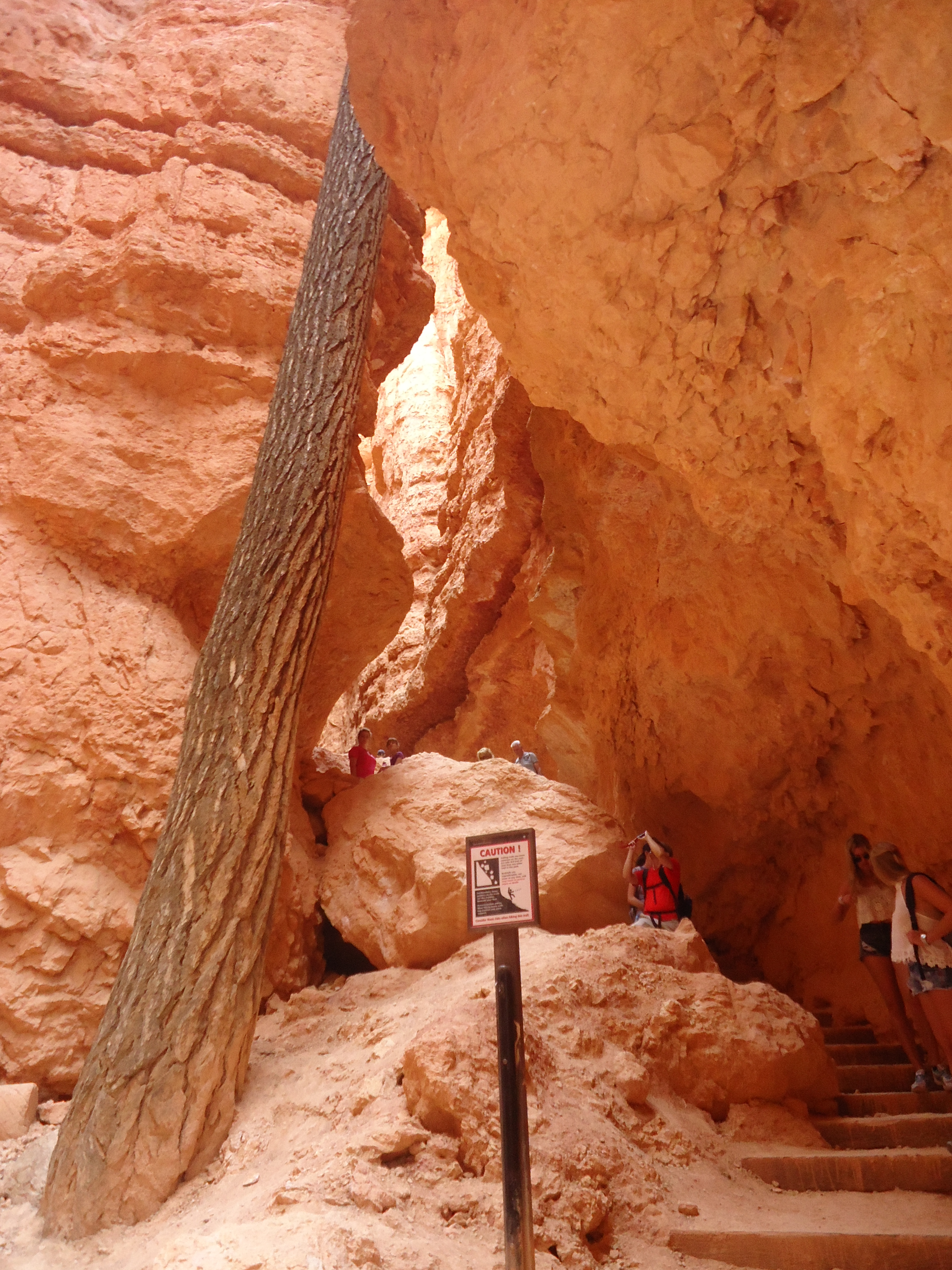
Down and down I walked, sometimes on a trail very close to a steep dropoff. At the bottom of the Queens Garden trail I then turned left onto the Navajo Loop. This passed through a more woodsy area down at the bottom. Finally I got down to the Peekaboo Pass, but it appeared that a sign was indicating that the section was closed. No one went past the sign. I was so disappointed! I wanted to take that loop and I thought why would the ranger have suggested it if it was closed? Disappointed, I continued back up the Navajo Loop. Right at the end of the Navajo Loop there is a most spectacular crevice or slot like formation at the bottom. Again, hard for me to describe but that’s why I took so many pictures.


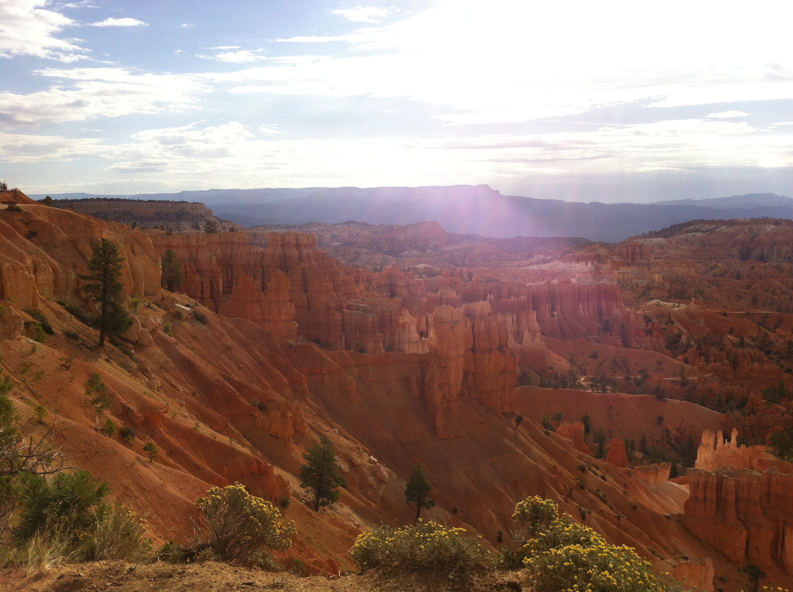
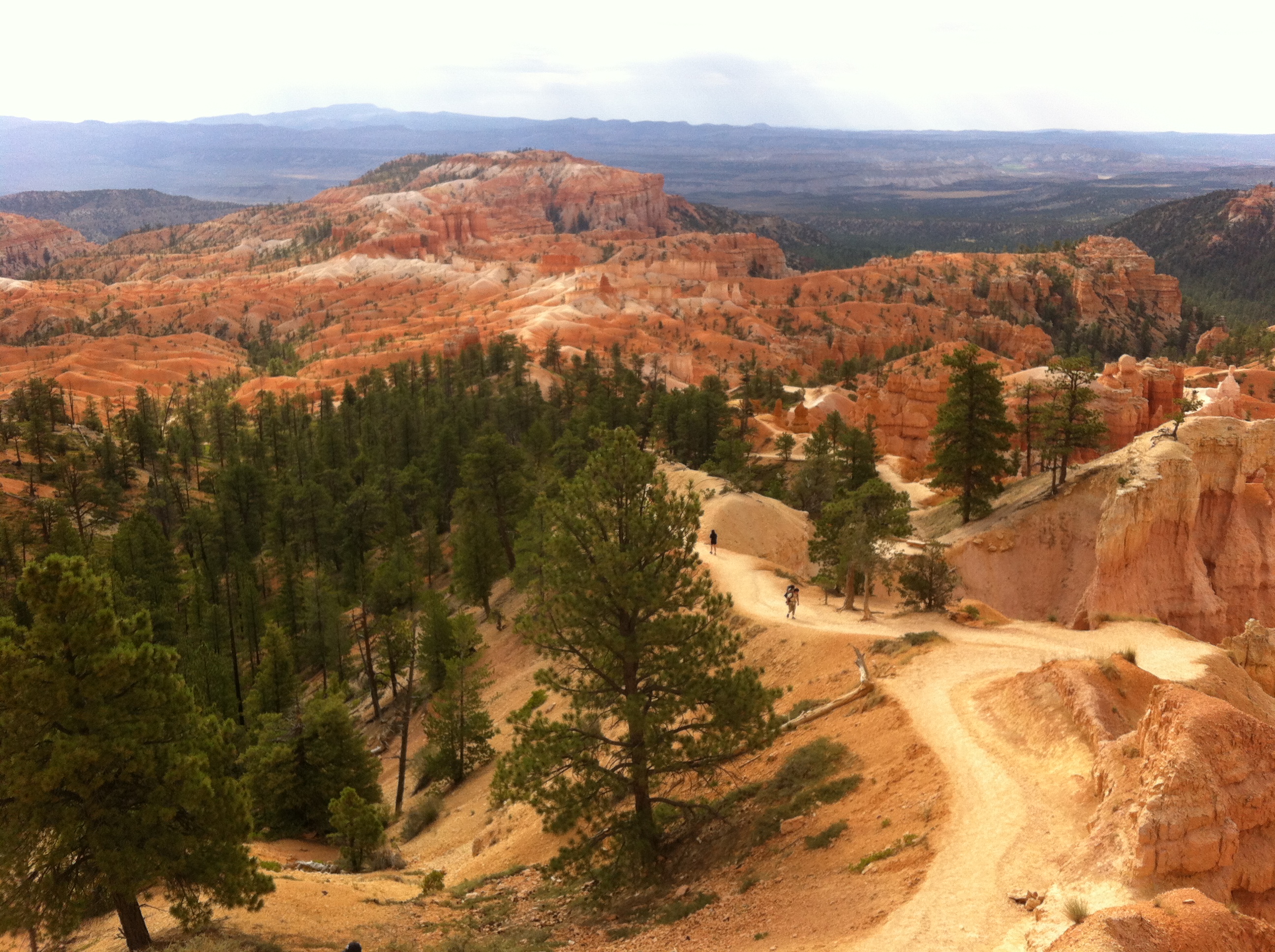
I finally came out at Sunset Point and saw a ranger there. I asked about the Peekaboo Loop and she said it was indeed open; but it was the connector to Bryce Point was closed due to a landslide. Oh, I was so bummed! It was only 10:30 and I couldn’t just go back…that would take too long. I walked back up to the lodge and a shuttle was there. I thought, well, I can take the Shuttle and see the two Points that I would have seen had I taked the extra trail. So I got on the bus and headed to Bryce Point. The bus driver said that it was possible to walk along the rim from Bryce Point all the way back to Sunrise, so I thought, there we go, that’s what i’ll do! And I’m so glad! I started at Bryce Point, then walked down to Inspiration Point (that was the scariest one, I thought), all the way down to Sunset and then arrived at Sunrise Point at about 12:30. So all together I had about a four hour hike, and hiked down to the bottom for the beginning and then along the rim for the second half. See, everything happens for a reason and I think that I had an even better experience doing it that way!


Hope you all enjoyed the pretty pictures. It’s even better in person! I think I’ll head up to Salt Lake City and relax for a couple of days before heading North to Grand Teton and Yellowstone!
